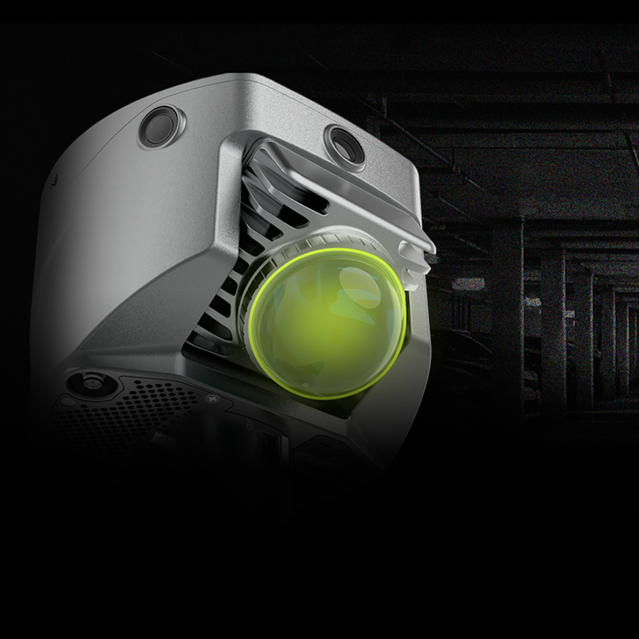
GNSS RTK · Laser SLAM · Reality Capture
V6 SLAM RTK
Combine satellite positioning and laser SLAM for 3D surveying in challenging environments.
Explore Product →
Combine satellite positioning and laser SLAM for 3D surveying in challenging environments.
Explore Product →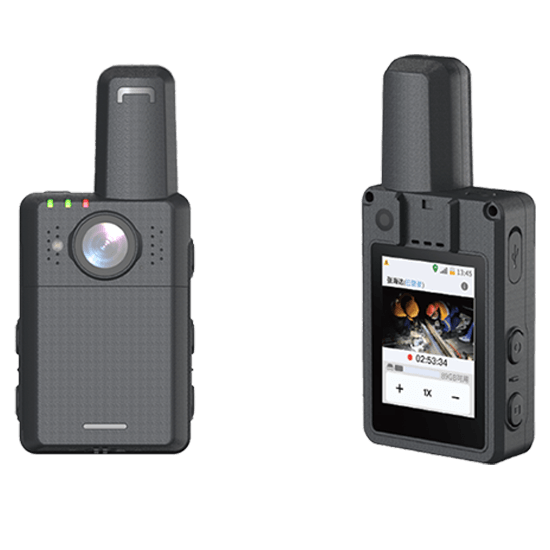
A compact handheld field device designed for high-precision positioning and data capture.
Explore Product →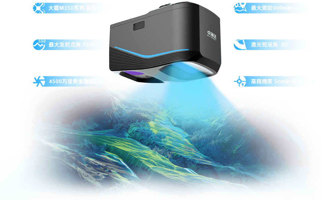
A UAV-based LiDAR mapping solution for terrain surveys, inspections and 3D modeling workflows.
Explore Product →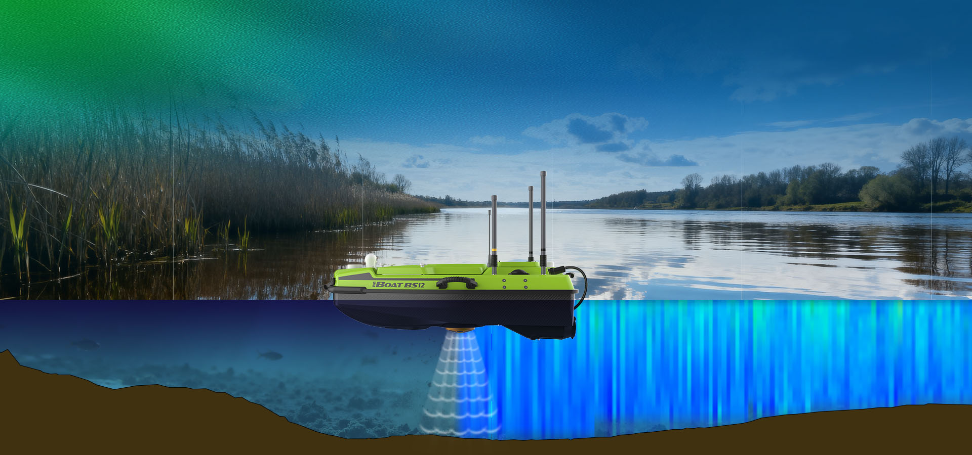
An unmanned platform for river and lake surveys, configurable with hydrographic sensors such as ADCPs and echo sounders.
Explore Product →